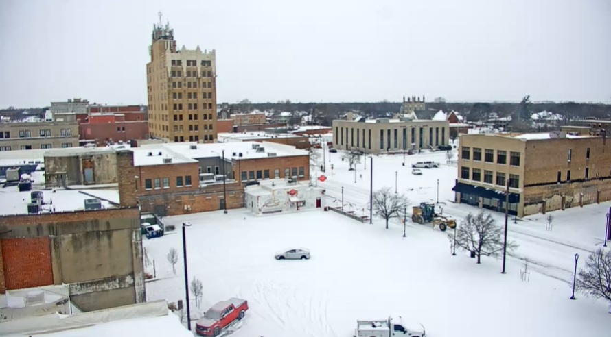
Snow that began as flurries early Friday, intensified Friday night, then lingered throughout the day Saturday. Ov er a half-foot fell in areas across Central Kansas, including officially 7.3 inches in Salina.
Here are some final snowfall amounts from the area as reported by the the National Weather Service:
- Delphos – 8 inches
- Ada – 8 inches
- Salina – 7.3 inches
- Wamego – 7.1 inches
- Chapman – 7 inches
- Manhattan – 6.5 inches
- Hutchinson – 5 inches
While the snow has ended, dangerous cold has not. A cold weather advisory remains in effect through noon Monday. Wind chills Monday morning are expected to be in the 10 to 20 below zero range. Be sure to dress in layers if you need to be outside and cover any exposed skin.
_ _ _
ORIGINAL: The first accumulating snow of 2026 began on Friday morning as flurries, and by Friday night began to cover the ground as it picked up in intensity.
Here are some snowfall amounts from the area as reported by the the National Weather Service:
- Beloit – 7 inches
- Hays – 6 Inches
- Glendale – 6 Inches
- Goessel – 5.5 inches
- Salina – 5 Inches
- McPherson – 4.5 Inches
- Hillsboro – 4 Inches
- Marion – 4 Inches
- Chapman – 3.8 Inches
Snow is expected continue off and on Saturday. Most locations will see total amounts in the 4 to 8 inch range, with a few higher amounts over southern Kansas.