Another blast of inclement winter weather is anticipated.
The National Weather Service has issued a Winter Weather Advisory for a large portion of the state, including all of Central Kansas, from noon today until 6:00 tomorrow morning.
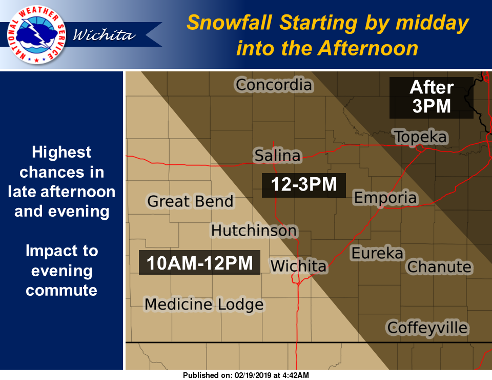
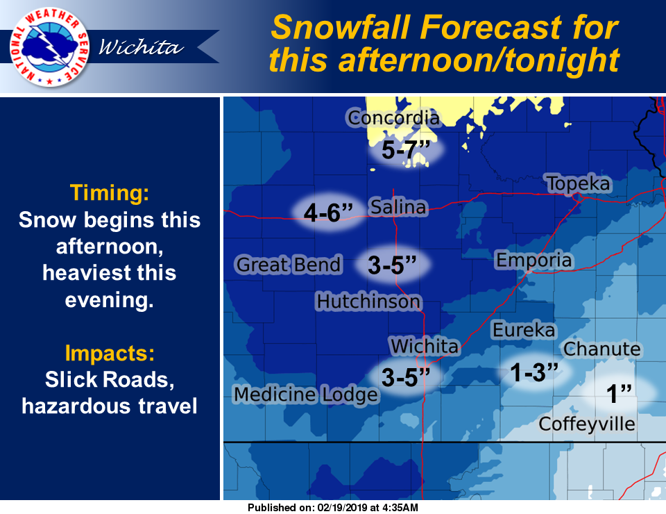
Snowfall is anticipated to start by midday into the afternoon as it moves from southwest to northeast. The highest chances of precipitation are in the late afternoon into the evening hours.
The heaviest snow is anticipated this evening. The heaviest accumulation amounts will to the northwest of the Kansas Turnpike, with 3 to 5 inches common. Some locally heavier amounts are possible near Salina. Lighter snow amounts of 1 to 3 inches are possible in the Flint Hills and southeast Kansas.
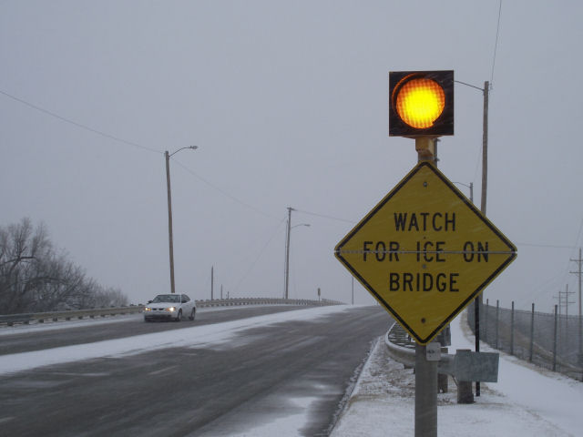
Officials are warning drivers to be prepared for snow-covered and slick roads.