After a couple of days of fog and drizzle, a combination of snow and thunderstorms is on the horizon.
According to the National Weather Service, a warming trend is expected before a storm system arrives late in the weekend. Clouds, drizzle, and fog are possible daily through Sunday. High temperatures will mainly be in the 50s with lows in the 40s.
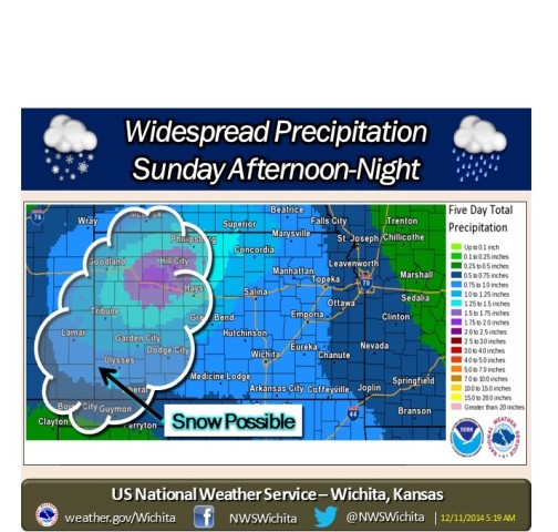
Widespread rain is possible late Sunday and Sunday night, as a strong storm system approaches from the west. Widespread rain amounts of one-half to three-quarters of an inch are possible, with locally higher amounts exceeding one inch.
A few thunderstorms are possible as well, but severe weather is not expected. Furthermore, accumulating snow is possible over primarily western Kansas.