An initial round of severe weather rolled across Central Kansas late Wednesday afternoon into Wednesday evening.
Tornadoes and large hail were the early threats, before giving way to more of a straight-line wind threat, mixed with heavy rain.
Hail up to the size of baseballs fell in parts of Ellis County, including in the Hays area.
In the Salina area heavy rain caused flooding issues. Wind up to 60 MPH downed power lines and blew tees over.
A second round of severe weather impacted areas again in the overnight hours.
(CLICK PHOTOS TO ENLARGE)
-
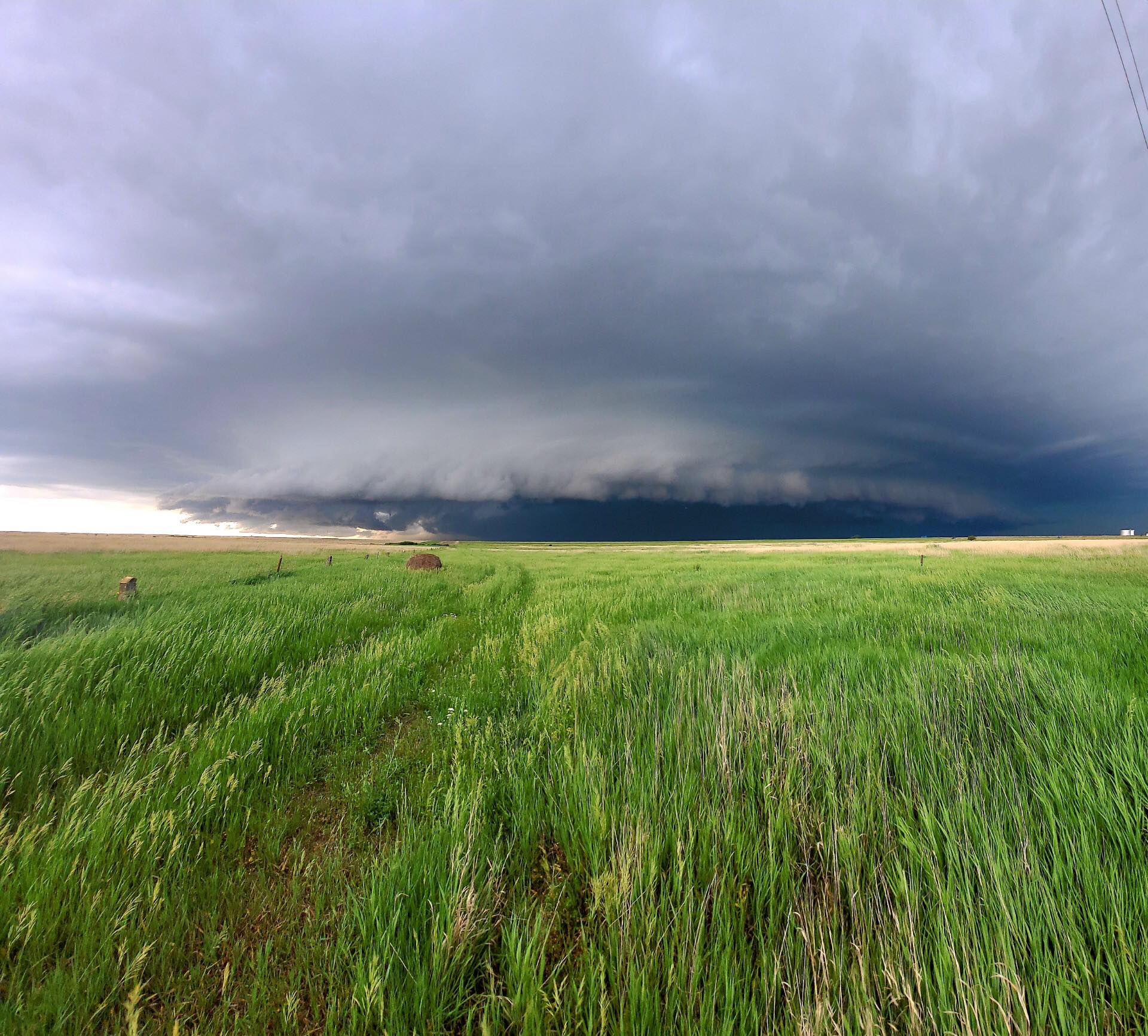
- Severe thunderstorm over Lincoln County. Photo from Henry Diehl
-
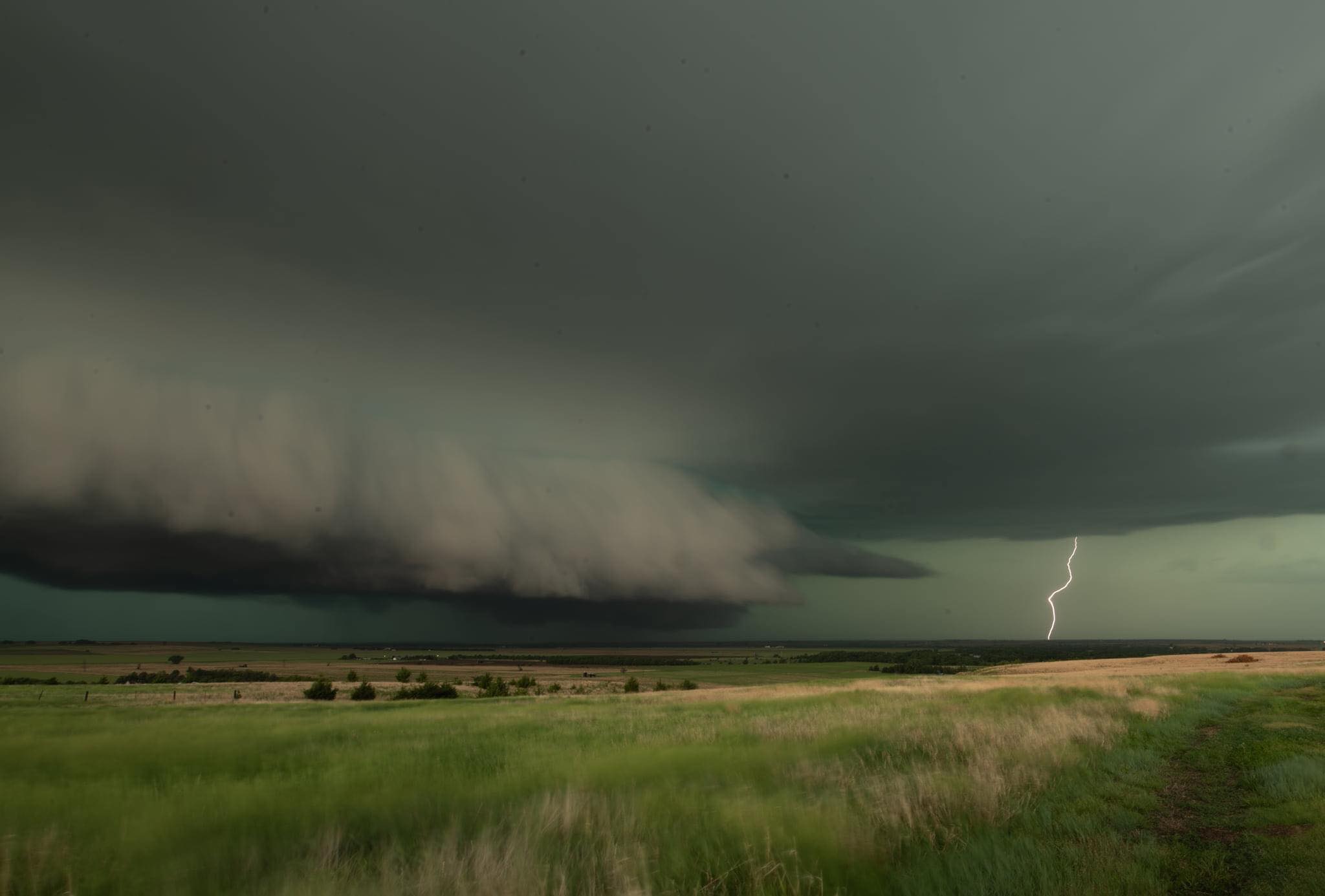
- Severe weather over Russell County. Photo from Justin Dean.
-

- A shelf cloud over Saline County. Photo by Kassidy Sell
-
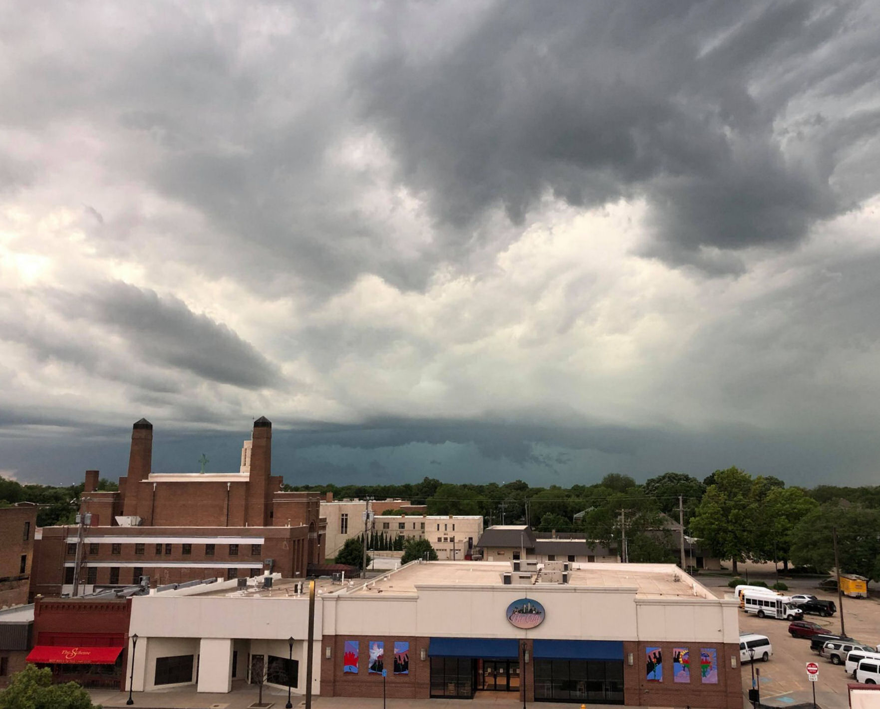
- Severe weather rolls into Salina. Photo by Todd Pittenger
-

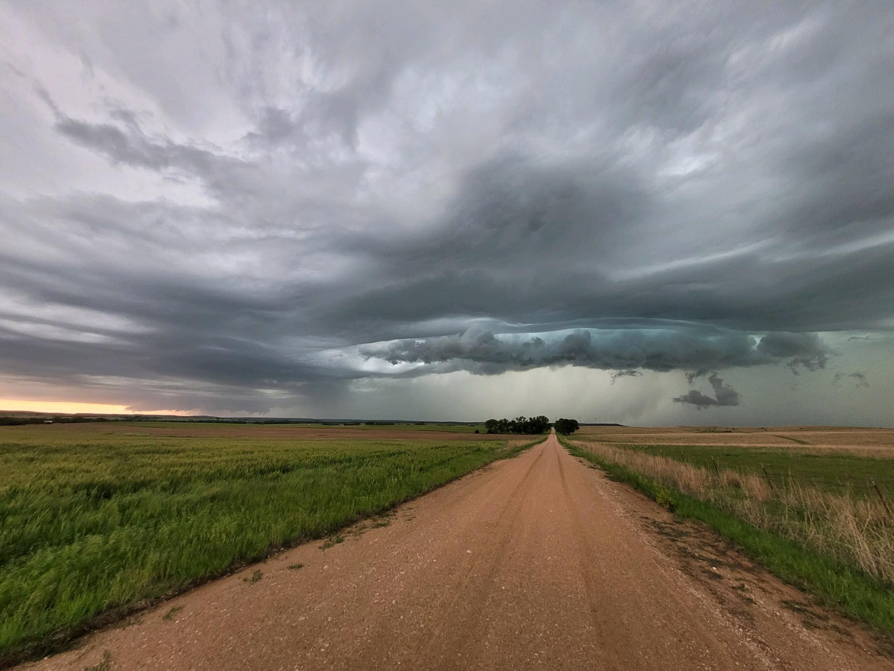
- Severe Weather South of Russell photo by Rod Meier