After a week of bitter cold weather, including a couple of days of record cold, unseasonably mild spring-like weather is returning to the area.
According to the National Weather Service, the following record low temperatures were set in Salina last week:
- Wed Feb 22: New Low -7 / Old Record -3 1978
- Thurs Feb 23 New Low -10 / Old Record 0 1918
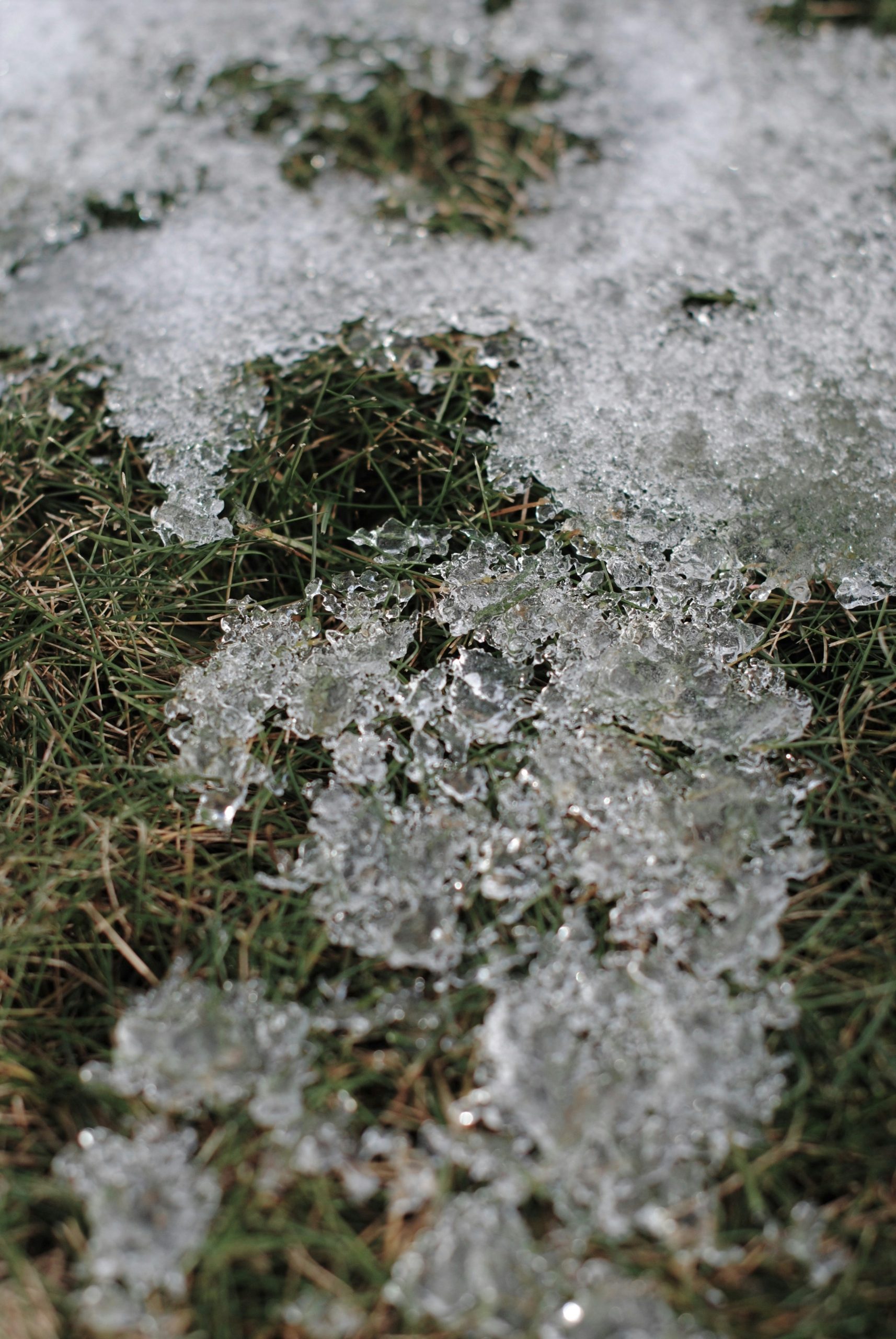
The Salina area recorded 172 consecutive hours, or a little over 7 consecutive days, of sub-freezing temperatures below 32 degrees. About four inches of snow also fell across the area.
The strong polar vortex which ushered in the record cold is being replaced by a warming trend. All this week high temperatures are forecast to be in the uppers 50s and lower 60s. A normal high for this time year is right around 50.
_ _ _