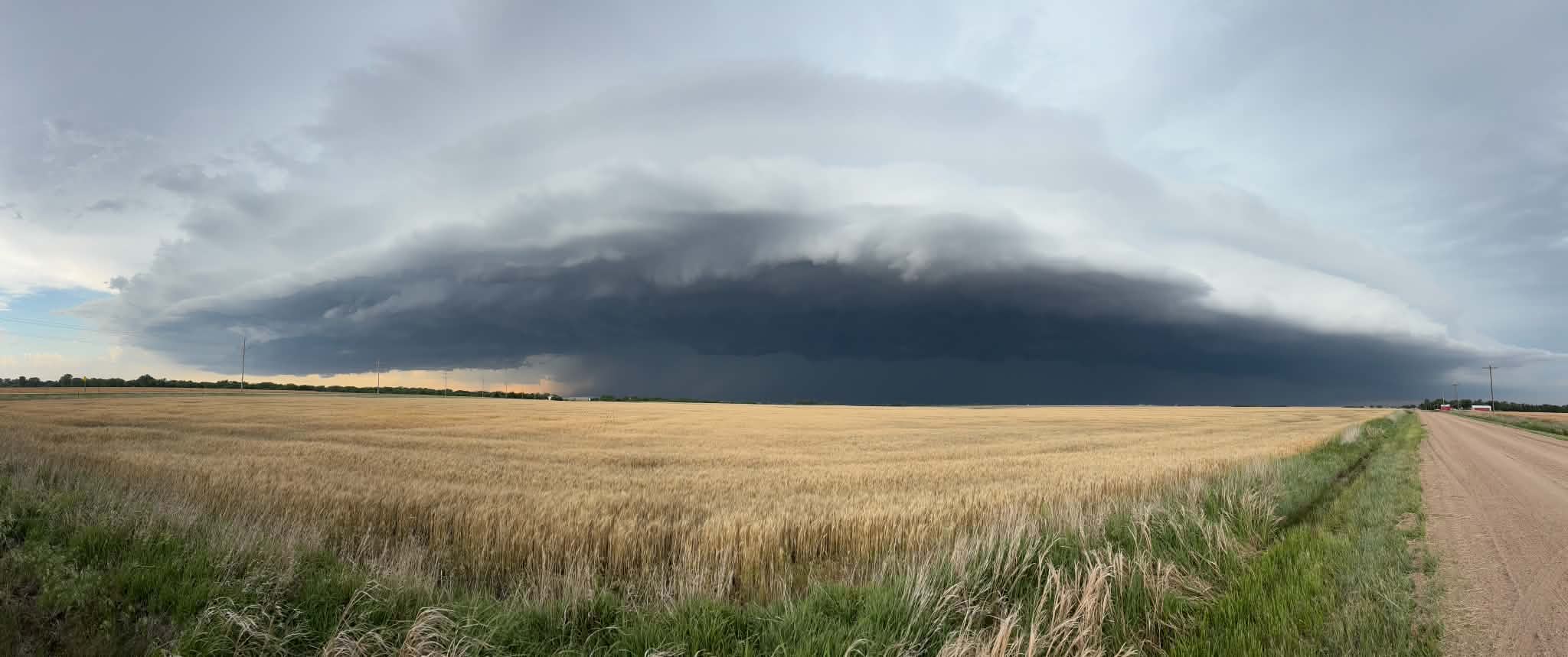
As severe weather was rolling across parts of Kansas Saturday night to the south and to the west of Salina, a rare heat burst generated strong non-thunderstorm wind.
According to the National Weather Service in Wichita, just before 8:00 Salina likely experienced a heat burst. Increasing temperatures and decreasing dewpoints produced a non-thunderstorm 62 mph wind gust at the airport.
A heat burst is a rare, localized meteorological phenomenon where the air temperature suddenly spikes, accompanied by extremely dry air and fierce, potentially damaging wind. Heat bursts almost always happen at night when a dying thunderstorm collapses over a layer of extremely dry air in the mid-atmosphere.
Following the heat burst, as thunderstorms moved across the area, the Salina area received several periods of brief heavy rain into the overnight hours, and some small hail In total, Saturday into Sunday, nearly an inch of rain fell.
There were no reports of any significant damage in Salina from the storms. The Abilene area did suffer wind damage, though, including several large trees which were blown over.
Severe storms are possible again Sunday afternoon and evening, especially for areas along and east of I-135. The strongest storms will be capable of hail up to tennis ball size, wind gusts up to 70 mph, a tornado or two, and heavy rainfall.
_ _ _
Top Photo by Tanner Colvin. A shelf cloud near Claflin Saturday night.
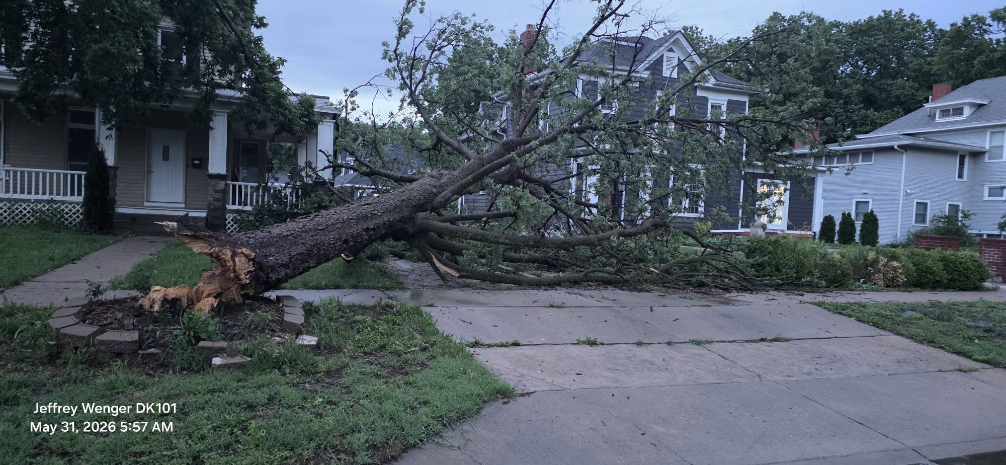
Photo by Jeffrey Wenger. Tree damage in Abilene.