It’s the calm before the storm. This from weather experts, who say most of Kansas will enjoy another day of mild weather before a winter storm rolls in on Saturday.
Forecasters predict blizzard conditions starting in the western half of the state on Saturday. What begins with rain will transitional to blowing snow as the day progresses Saturday.
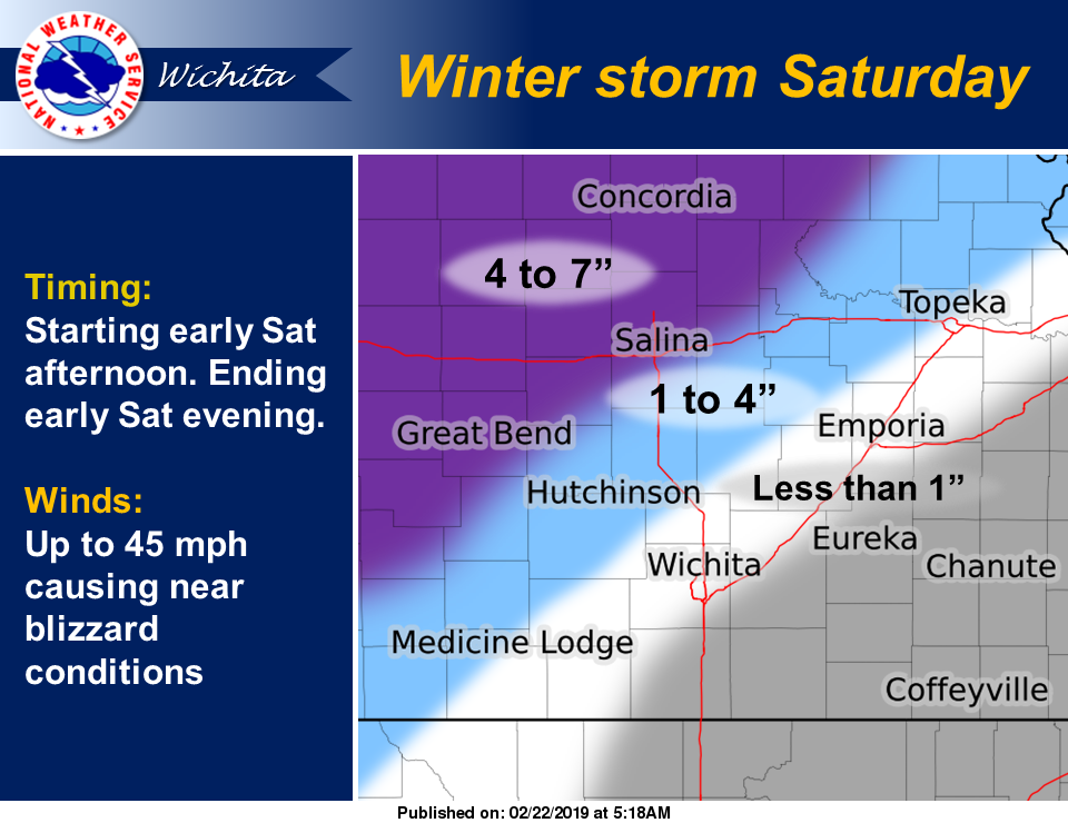
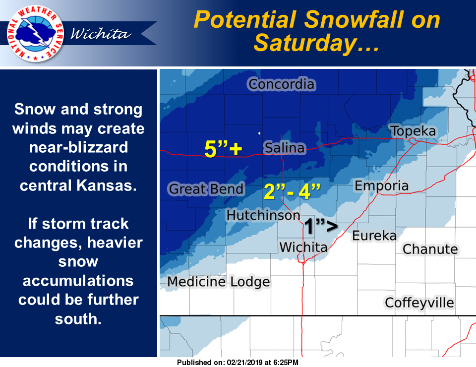
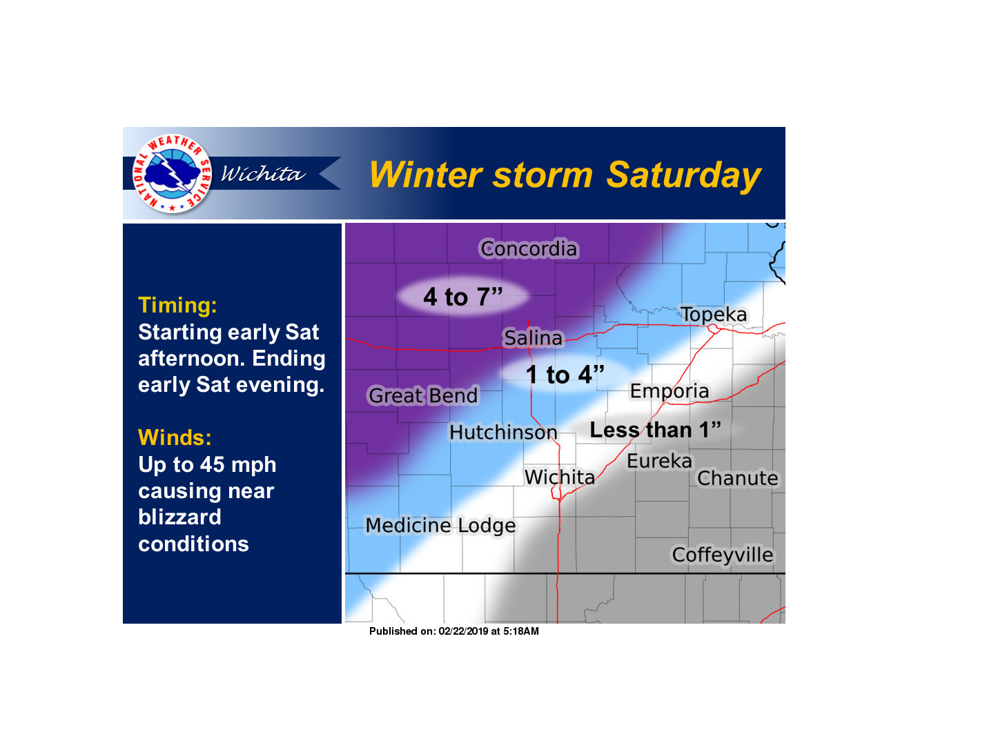
According to the National Weather Service in Wichita, moderate to heavy snow and near-blizzard conditions are possible across north central and western Kansas Saturday into Saturday evening, as a strong storm system approaches from the southwest.
The highest snowfall totals are expected generally along & northwest of a Great Bend to Salina line with amounts decreasing quickly to the south.
The highest confidence on the heaviest snowfall is expected across north central Kansas where accumulations could exceed 5 inches.
North winds gusting to 45 mph will create blizzard like conditions which will make for difficult travel, especially across parts of I-70 Saturday afternoon and early evening.
Very hazardous travel conditions are possible from the combination of snow, strong winds and reduced visibility.
There is still some uncertainty in the storm track as it could track a bit further south. If so, the snow and strong winds could reach into portions of southern and eastern Kansas as well.