A strong cold front fired several rounds of severe thunderstorms across Kansas late Saturday night into early Sunday morning
The strongest storms dropped large amounts of hail in some areas, including across Salina, some of as large as golf balls.
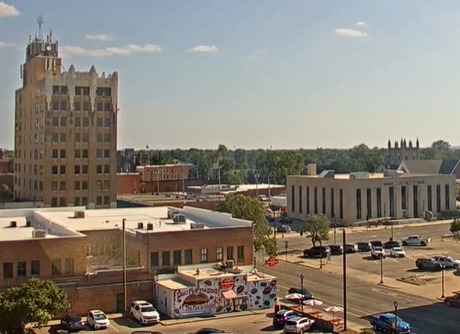
Saline County was under a tornado warning for an hour as a rotating wall cloud passed just south of Salina. Spotters were watching what was described as a “beefy rotating wall cloud”. It dropped several funnels, but there never was a confirmed tornado.
Heavy rain also accompanied the storms. Salina received 1,94 inches of rain at the airport. There was minor street flooding in some parts of town.
Behind the storms strong wind overtook the area. Non-thunderstorm wind of 61-miles per-hour was clocked at the airport.
The cold front is now prompting unseasonably cool temperatures through Wednesday, with high temperatures in the upper 50s and lower 60s and lows in the 40s.
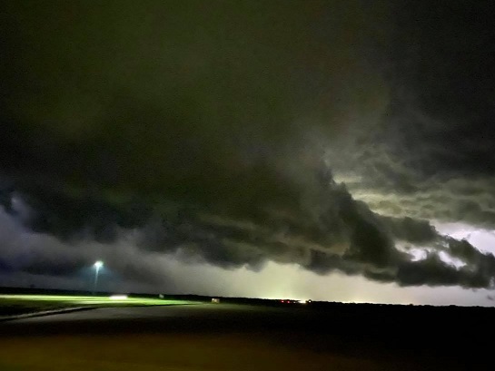
Top Photo by Tanner Colvin. View from Falun Road and Interstate 135 looking north of a lowering as a potentially tornadic storm was passing.
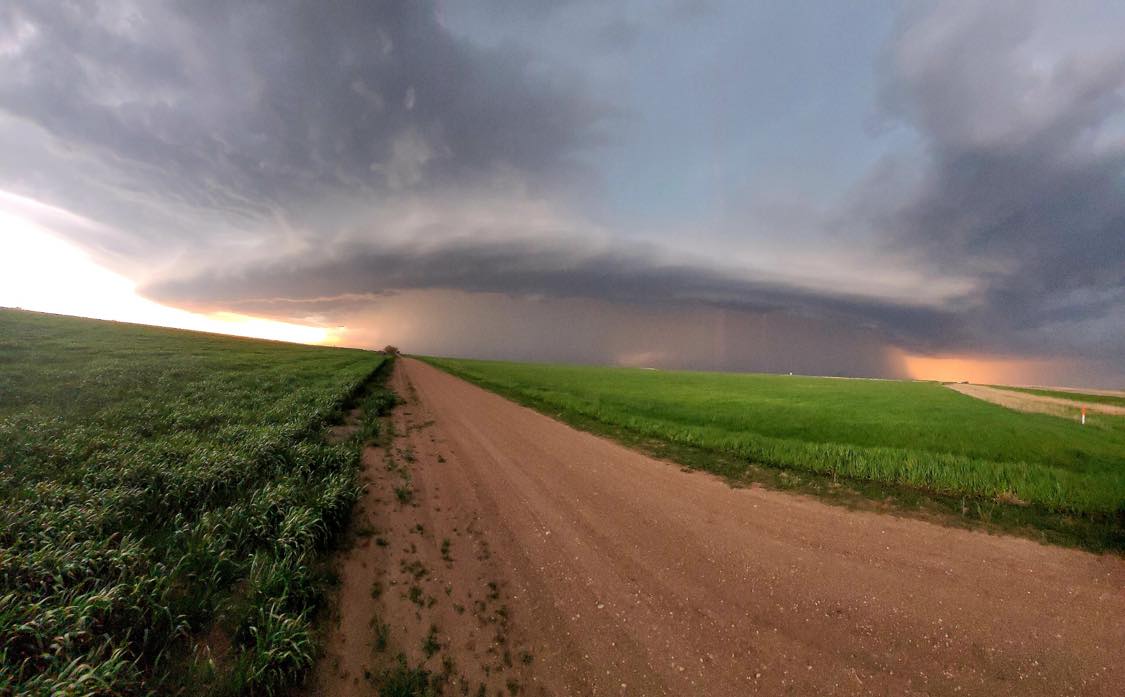
Photo from Justin Dean. Severe thunderstorm over Carneiro in Ellsworth County.