It might look a lot like Christmas when the work week begins in portions of Kansas. Forecasters are warning of the potential of heavy snow in the western part of the state.
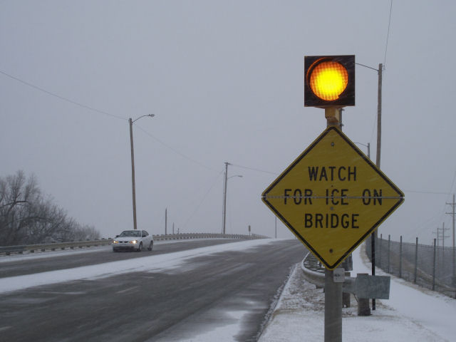
According to the National Weather Service in Dodge City, several inches of snow may accumulate across far southwest Kansas Sunday morning, before about noon. A northwest wind in the 20 to 30 mph range, combining with the snow fall, will create reduced visibility, adding to deteriorating driving conditions.
By early afternoon, the snow will begin to spread much farther east and north. The time frame of heavier snowfall and highest snow rates may be later in the afternoon and into the early evening hours.
A widespread 6 inches of snow is expected across a large area. Higher snow amount in excess of 9 inches are possible as well, within this broader area, however exact location has more uncertainty.
According to the National Weather Service in Wichita, in Central Kansas widespread showers will continue across the region, with one-half inch to one inch of additional rain expected across much of the area.
As the rain transitions to snow across Western Kansas, it is expected to eventually do so in parts of Central Kansas as well. Much less snow accumulation is expected in the central part of the state, generally an inch or less.
Winter Storm Warnings and Winter Weather Advisories are in effect through Sunday night for a large portion of Western Kansas.