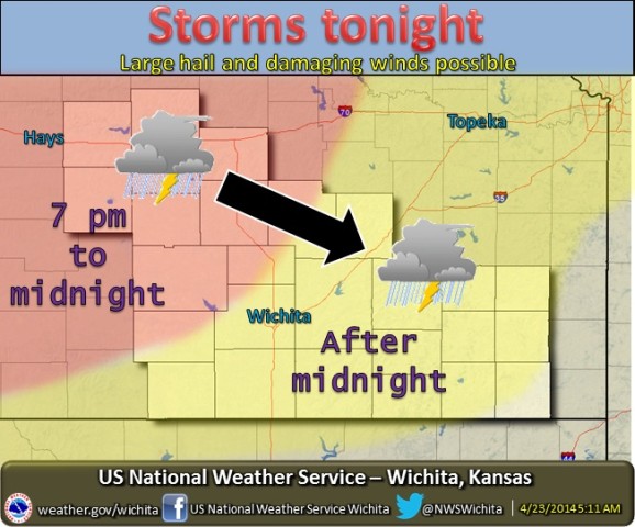
An active pattern is setting up that will bring chances for severe weather for parts of Central Kansas beginning tonight.
According to the National Weathe Service, storms are expected to develop early Wednesday evening over west-central Kansas and track southeast overnight. They should impact most of the area.
Severe storms will be possible tonight mainly for areas along and west of Interstate 135. Golf ball size hail and winds to 70 mph will be possible with the stronger storms, but the possibility of tornadoes cannot be ruled out.
A similar situation looks possible for the weekend as well, on both Saturday and Sunday. The best chances for severe weather on Saturday look to be for areas along and west of Interstate 135. For Sunday, the best chances will be areas along and east of Interstate 135.
Large hail, damaging wind, and tornadoes will all be possible with the weekend activity.
-
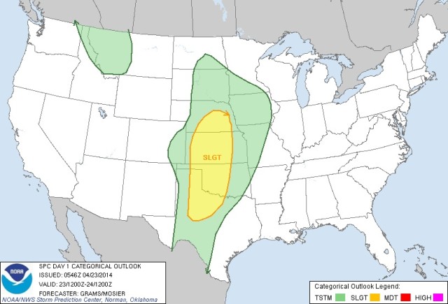
- The risk area for Wednesday.
-
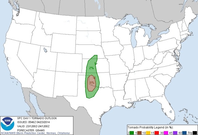
- The area where tornadoes are possible Wednesday.
-
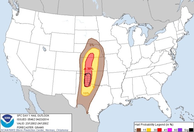
- The area where large hail is possible Wednesday.