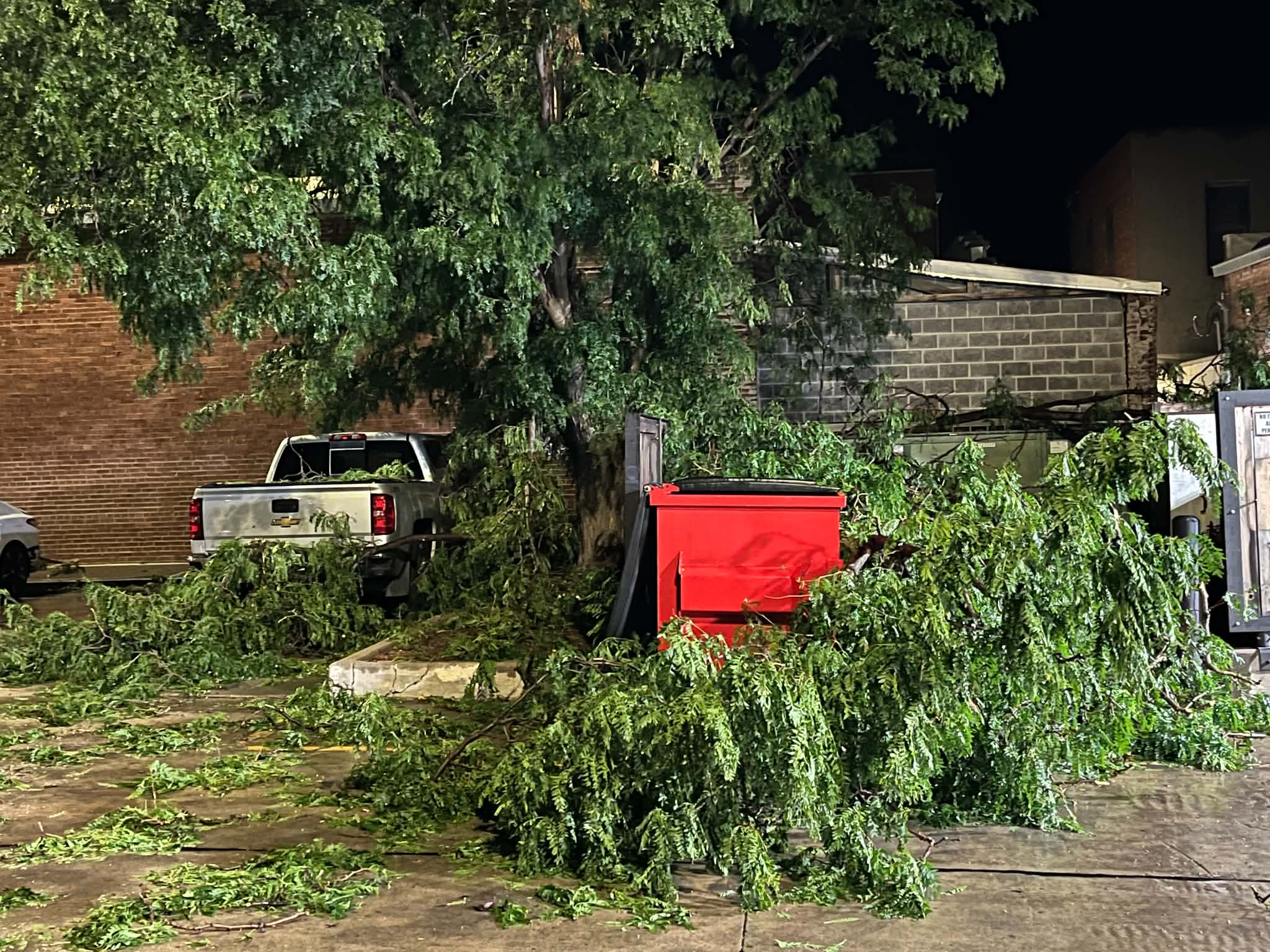
Damaging Severe thunderstorms roared across the area late Monday night bringing wind in excess of 100 MPH. The National Weather Service reported 113 MPH three miles SW of Salina.
The wind caused widespread damage across the area, and across Salina. There are power poles, trees, large branches, and other debris down across the area. Along Interstate 70 semis blew over. In Marion the AgriTrails Coop had its roof blown off.
In Salina there is damage at Crestwood Inc. First shift production is closed and rescheduled for Friday. Salina Public Schools Summer School and Special Education ESY are canceled for Tuesday.
Downed power poles and power lines contributed to power outages across the area.
Along with the wind, hail larger than golf balls fell in some areas, and there was heavy rain. The Salina area received 1.43 inches of rain.
Tuesday’s forecast is highlighted by a heat advisory for the area. In the Salina area it will be sunny and hot, with a high near 97. Heat index values will be as high as 107. Spotty showers and storms moving out of western Kansas in the afternoon and evening will be capable of producing down burst winds around 60-70 mph and up to quarter size hail.
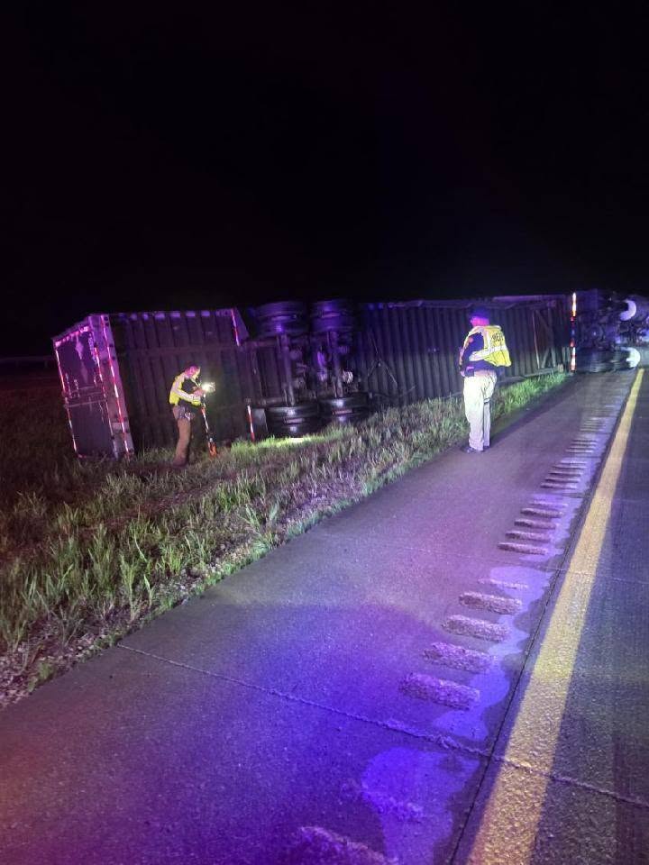
Photo via Ellsworth County Sheriff’s Office