A winter storm with freezing rain and snow is expected to hit Kansas.
The National Weather Service on Sunday issued winter storm warnings for several sections of the state, including eastern and south-central Kansas. The weather service said the warnings are in effect through Monday night.
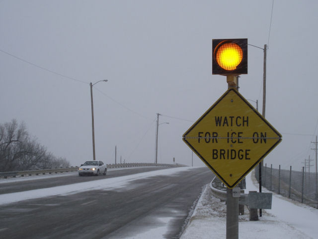
The weather service said the storm was expected to move from the south to north late Sunday night and is forecast to include a mix of freezing rain, sleet and snow. Up to 6 inches of snow was expected overnight from Council Grove to Seneca, with about a quarter inch of ice possible from Emporia to Hiawatha.
High wind could also affect visibility, making travel hazardous.
Additional snow was also expected in central and north-central Kansas, with accumulations from 2 inches to 5 inches.
—

Hazardous winter weather will continue to impact the region today. Difficult travel conditions are expected over the Flint Hills and along Interstate 35. Periods of snow, sleet, and freezing drizzle will continue, with all snow for areas west of Interstate 135. Freezing rain and freezing drizzle will produce slick roads in the Flint Hills and Southeast Kansas today. In addition to the wintry precipitation, very strong north winds will cause blowing snow, and reduce visibility to around one half mile or less at times.